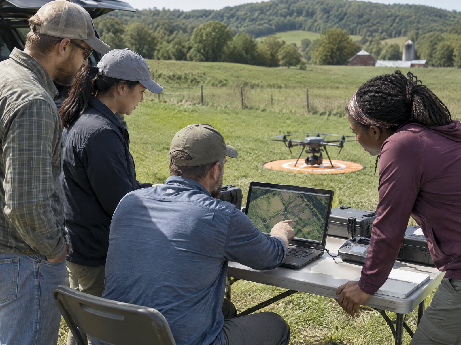
Drone mapping and photogrammetry courses
What to expect from a drone mapping course, from flight planning to processed orthomosaics and 3D models.
Core topics
Mission planning, overlap and ground sampling distance, ground control points and RTK/PPK, processing and quality checks.
Software
Courses often teach DroneDeploy, Pix4D, DJI Terra, Esri Site Scan or Propeller. Choose one that matches the software you will use at work.
Who it suits
Surveying, construction, mining and environmental teams that need accurate maps and volumes.
More guides
How to hire a providerHow to get your Part 107 certificateOnline vs in-person drone trainingHow to choose a drone schoolPart 107 recurrent training explainedHow much does drone training cost?Thermal drone training for inspection workSpray drone training and Part 137Drone training for public safety agenciesDrone training for teams and employersCollege and university drone programsFPV and drone cinematography courses